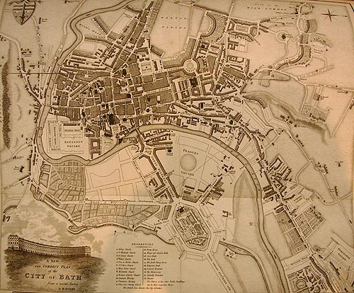
Bath`s Historic Maps.Click on some of the
images below for an enlarged version of it.
images below for an enlarged version of it.
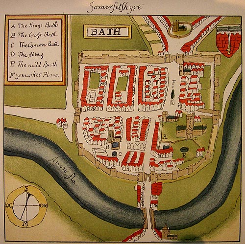
Map
of Bath by William Smith 1568
(click on images for larger size)
(click on images for larger size)
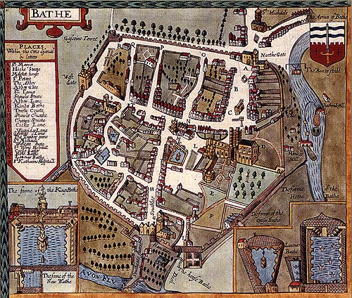
Map
of Bath by John Speed c.1610
(click on images for larger size)
(click on images for larger size)
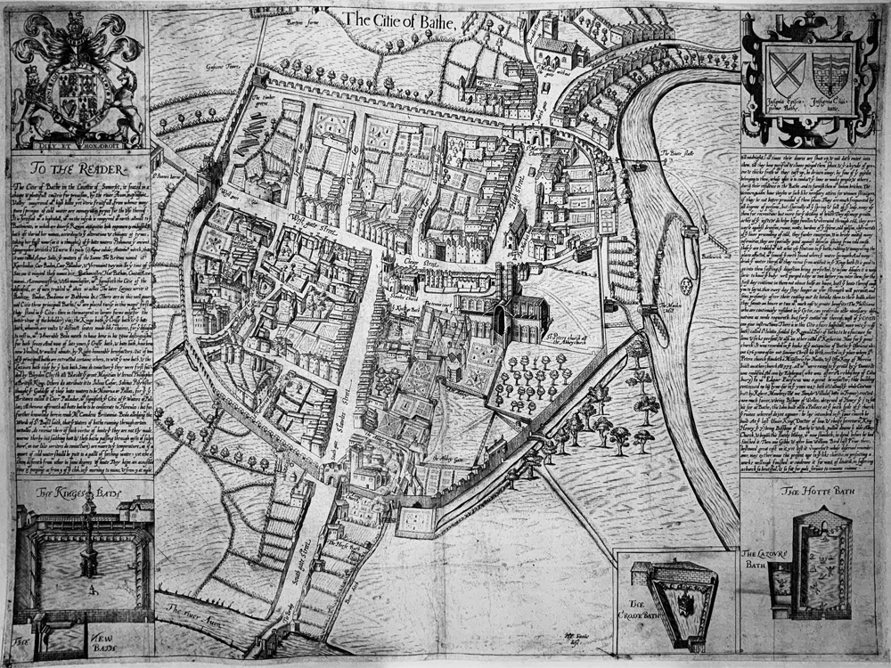
Maps
of Bath by Savile c.1600
(click on images for larger size)
(click on images for larger size)
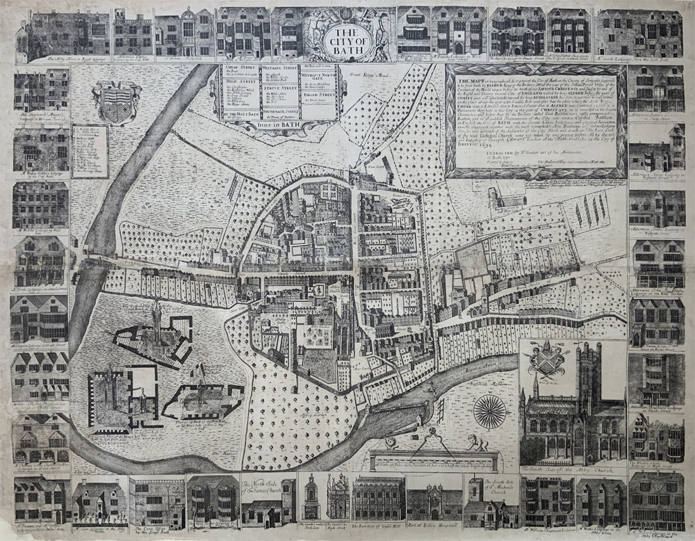
Maps
of Bath by Gilmour 1694
(click on images for larger size)
(click on images for larger size)
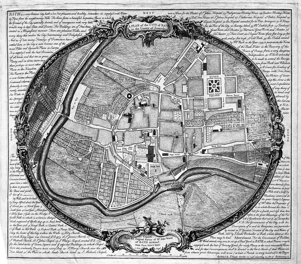
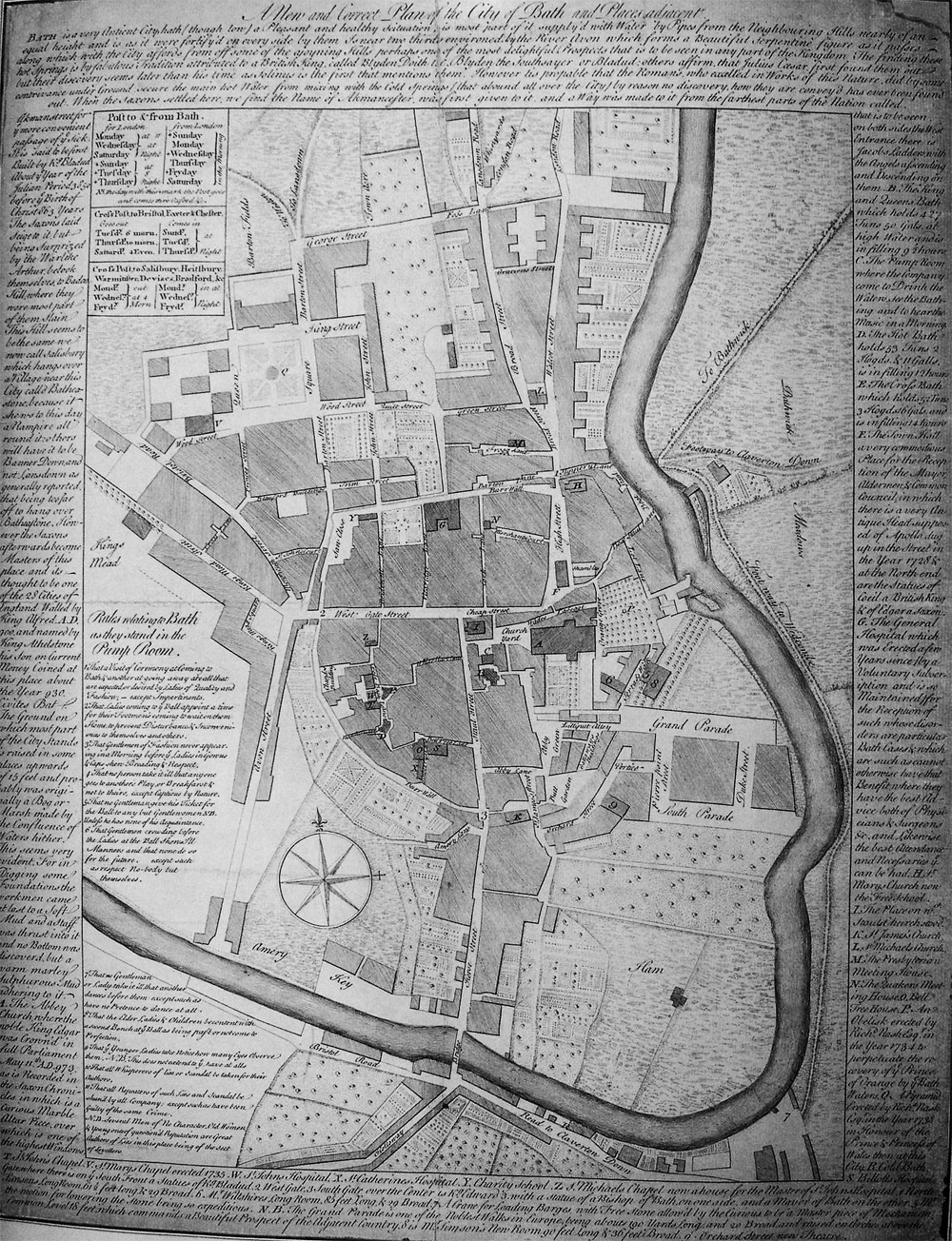
Maps
of Bath by John Wood 1735
(click on images for larger size)
(click on images for larger size)
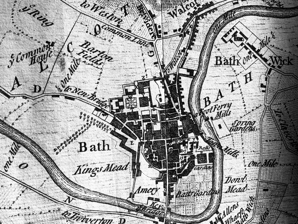
Map
of Bath 1742 by Thomas Thorpe
(click on images for larger size)
(click on images for larger size)
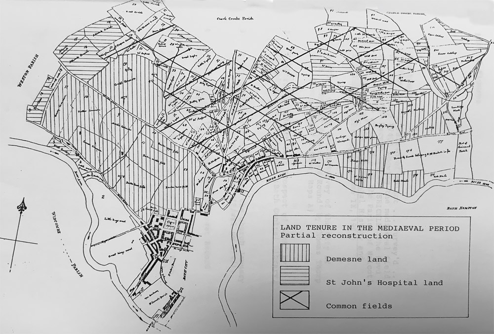
A Plan of the Parish of Walcot surveyed by Thomas Thorpe in 1740
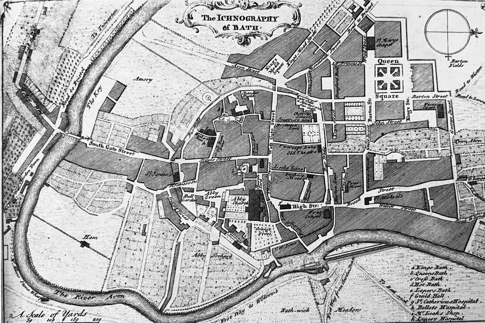
Map
of Bath 1750
(click on images for larger size)
(click on images for larger size)
Bowen Map of Bath 1750
(click on images for larger size)
(click on images for larger size)
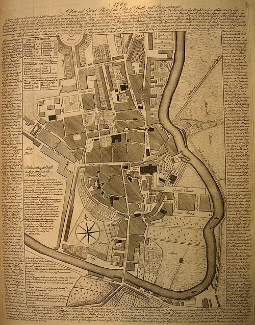
Map
of Bath 1760
(click on images for larger size)
(click on images for larger size)
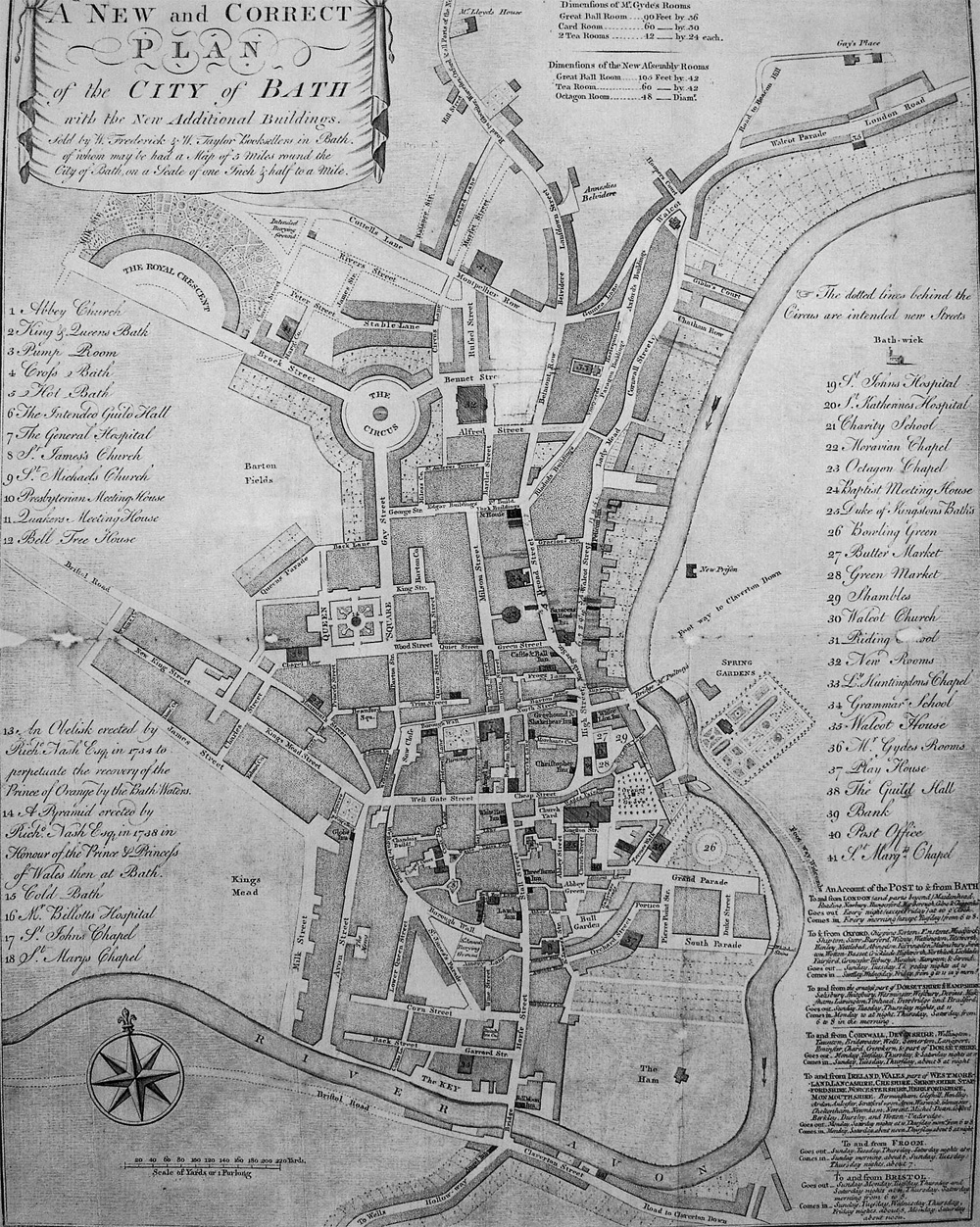
Map
of Bath by Frederick Taylor 1780
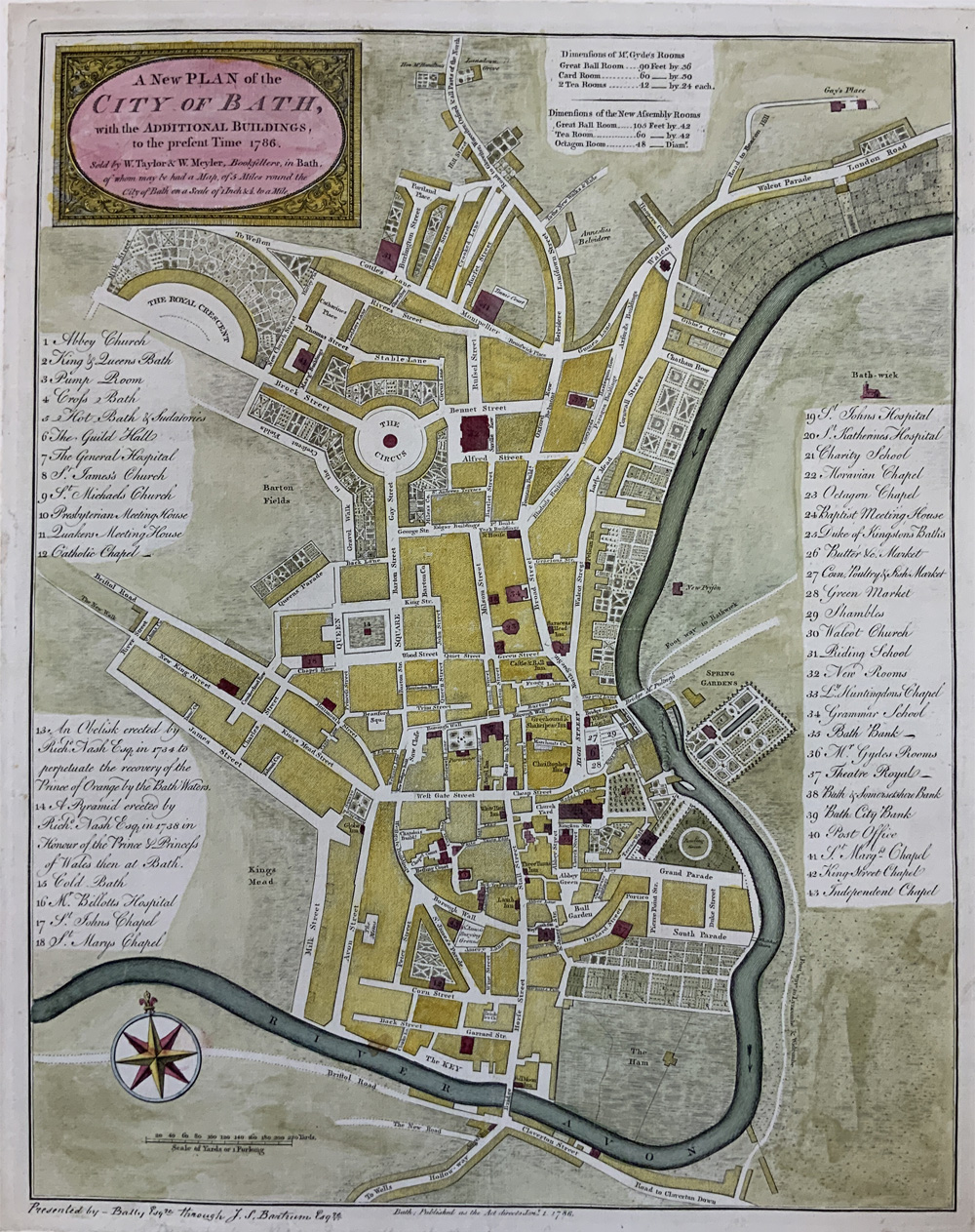
Map
of Bath 1786
(click on images for larger size)
(click on images for larger size)
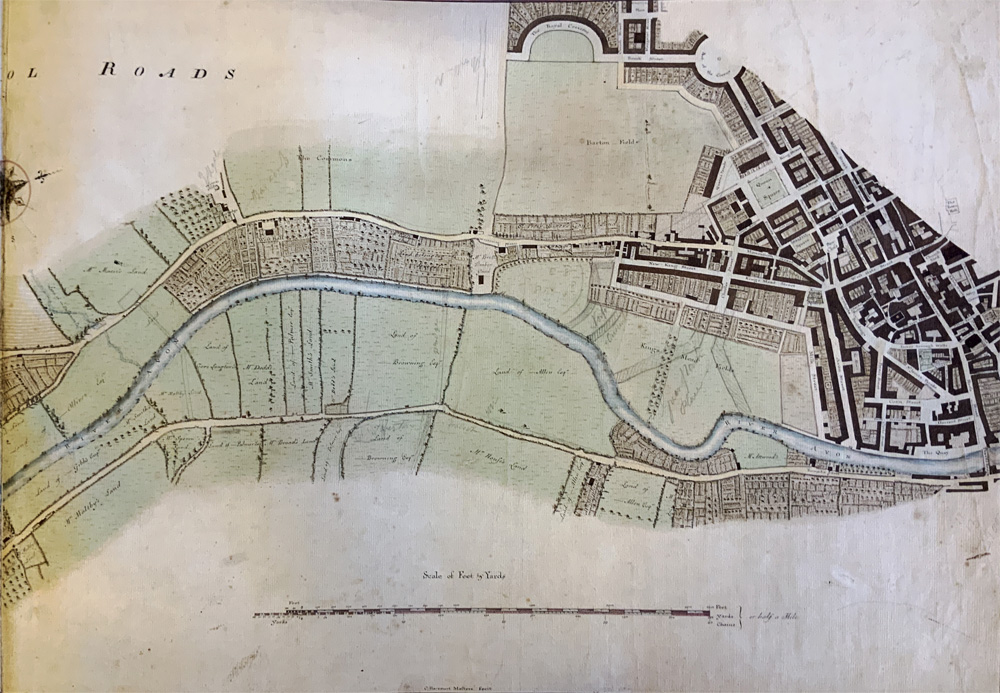
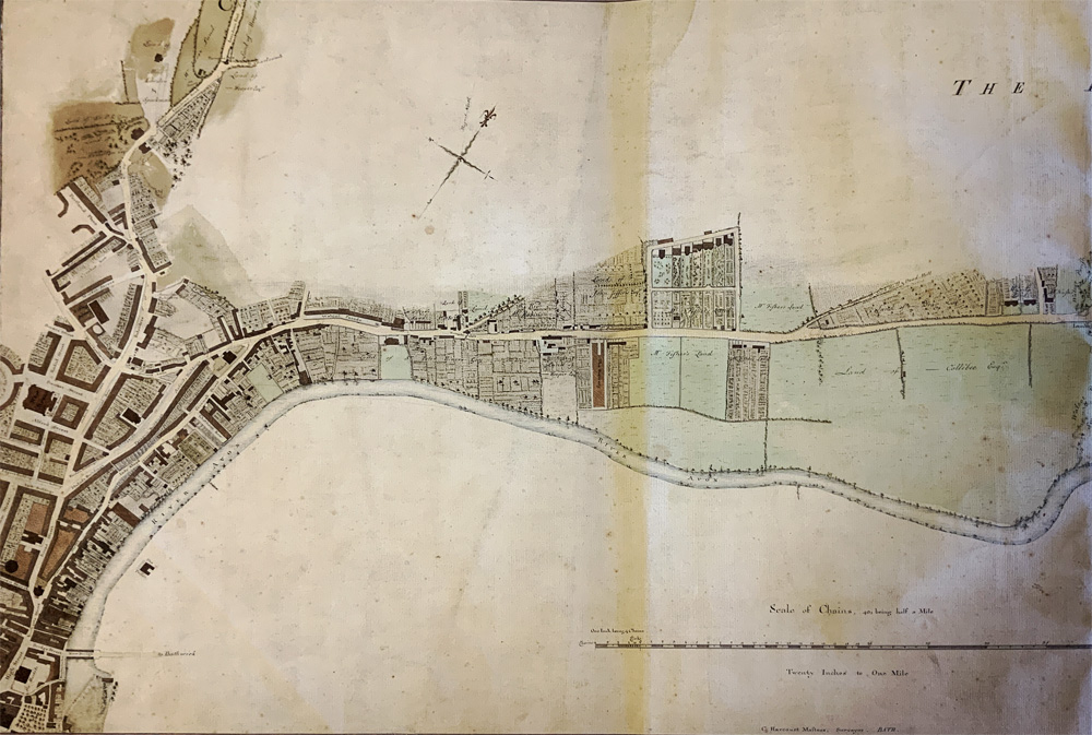
Maps
of Bath 1786 by C. Harcourt Masters
(click on images for larger size)
(click on images for larger size)
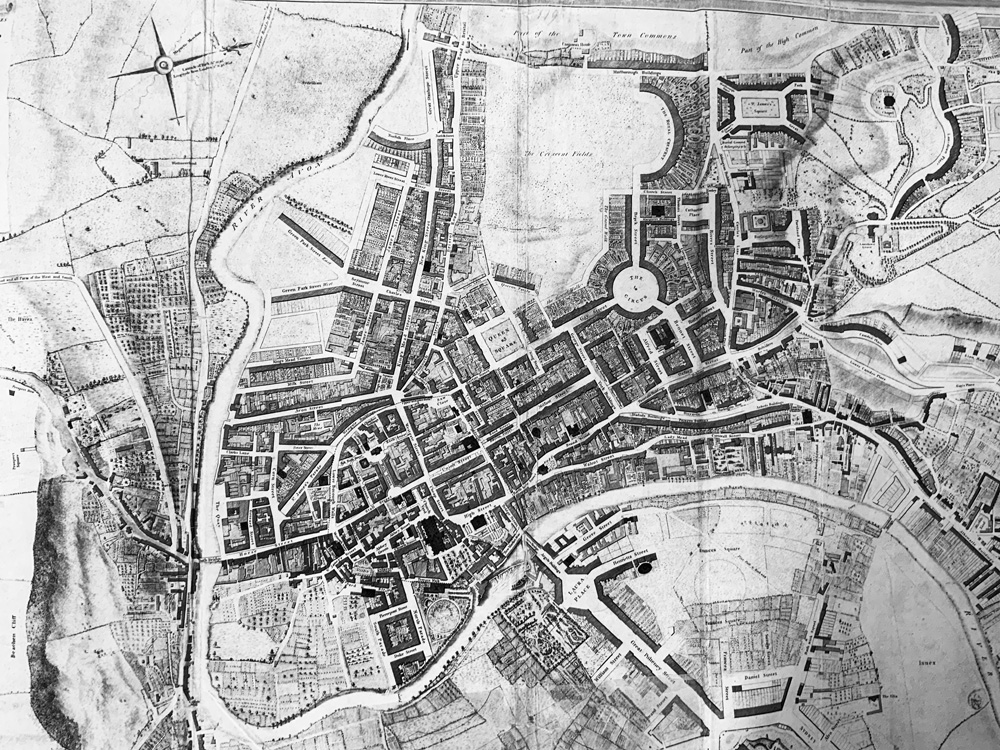
Map
of Bath 1795 by C. Harcourt Masters
(click on images for larger size)
(click on images for larger size)
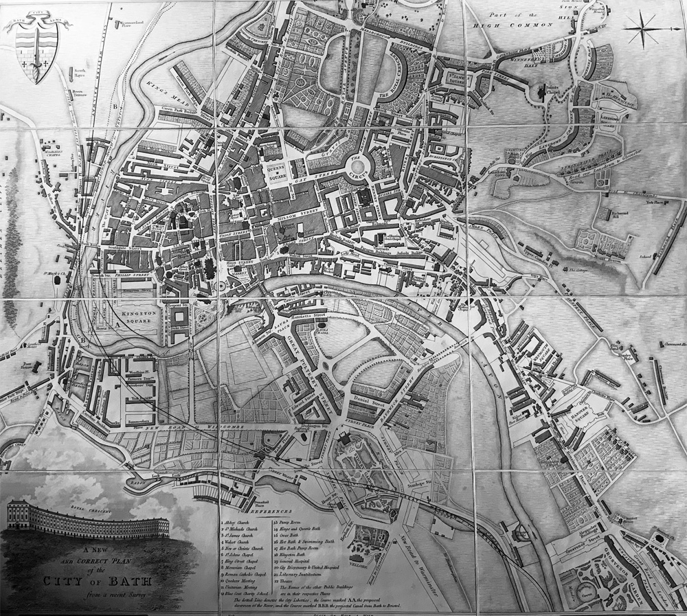
Map
of Bath c.1830
(click on images for larger size)
(click on images for larger size)
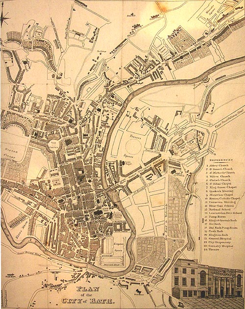
Map
of Bath by Meyler 1817
(click on images for larger size)
(click on images for larger size)
Map
of Bath by Godwin 1810
The North side of New Bond Street,Bath in 1840
b y E.A.Sargeant
b y E.A.Sargeant
The
South side of New Bond Street,Bath in 1840
b y E.A.Sargeant
b y E.A.Sargeant
